Marden
Quarry Park - More Flooding at NW Edge - March 2019
Update 5/6 June 2019
Update 23 July/2 August 2019 #2
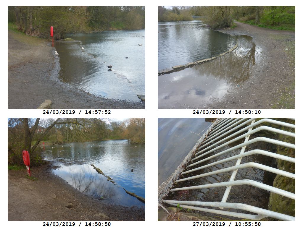
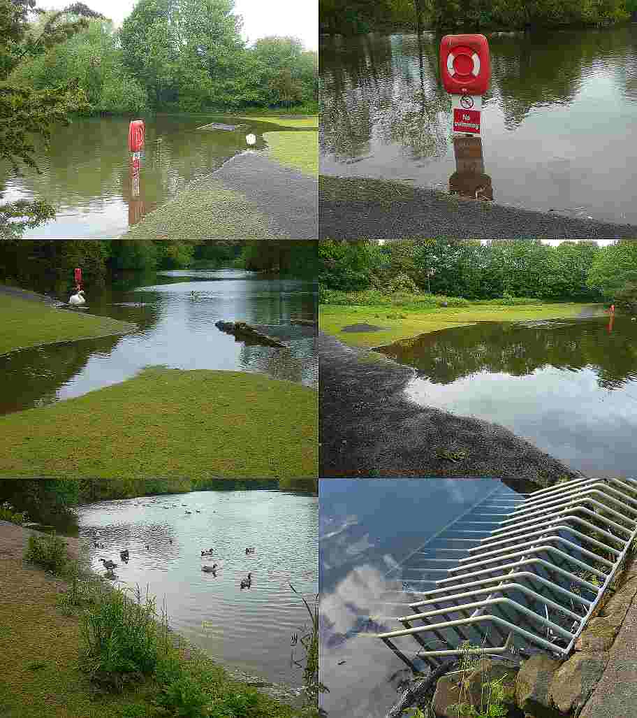
The first set of 4 photographs below were taken in late March and show the high water level on the 24th and the low flow and drop in level across the the wire mesh at the outlet on the 27th. They follow several days without any significant drop in the water level.
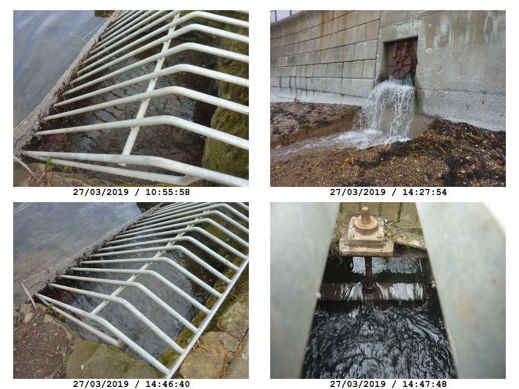
The second set of 4 photographs allow a comparison of outlet flow before and after the wire mesh blockage was cleared and the flow to the North Sea through the flap valve in the sea wall south of Browns Point. The last view shows the high flow over the sluice gate in the 2nd outlet chamber, whereas there was none in the morning.
Video below recorded on 27 March.
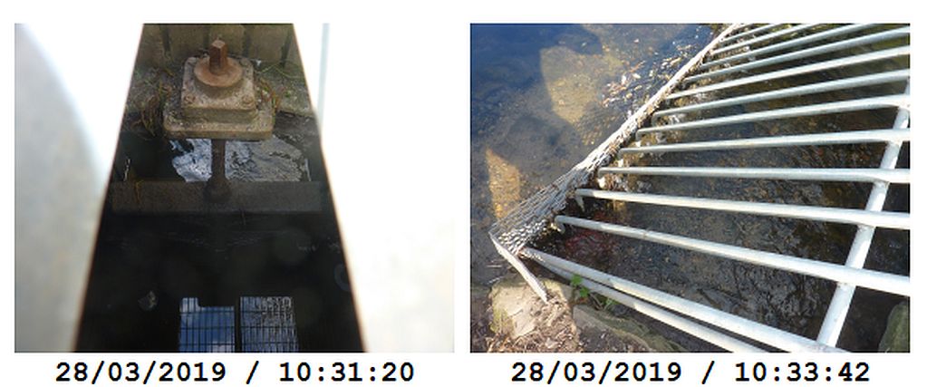
On the following day the water level had dropped by a few centimeters and there was flow via the dry weather pipe, but no longer any flow over the sluice gate.
Video below recorded on 20 May, 2019.
Both pipes from the outlet found blocked on 9 May and reported to North Tyneside Council 10 May.
During the period 9 May to 20 May the lake level dropped by 1cm.
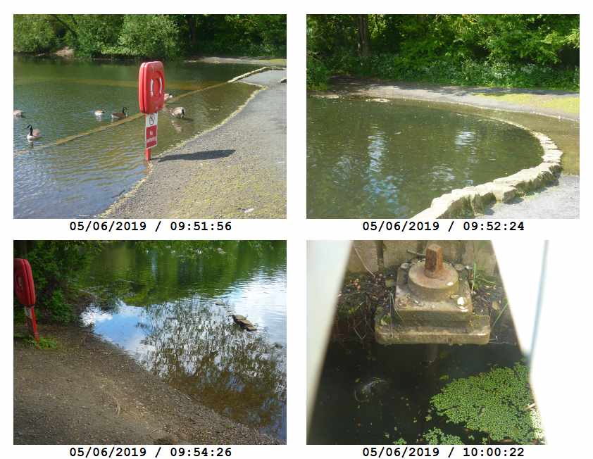
Updates on 5/6 June, 2019
The 2 outlet pipes have remained blocked although this was reported to North Tyneside Council on 10 May, 2019. From 24 May to 5 June the water level has risen by 17cm from a level that fully covered the jetty on the NW of the lake.
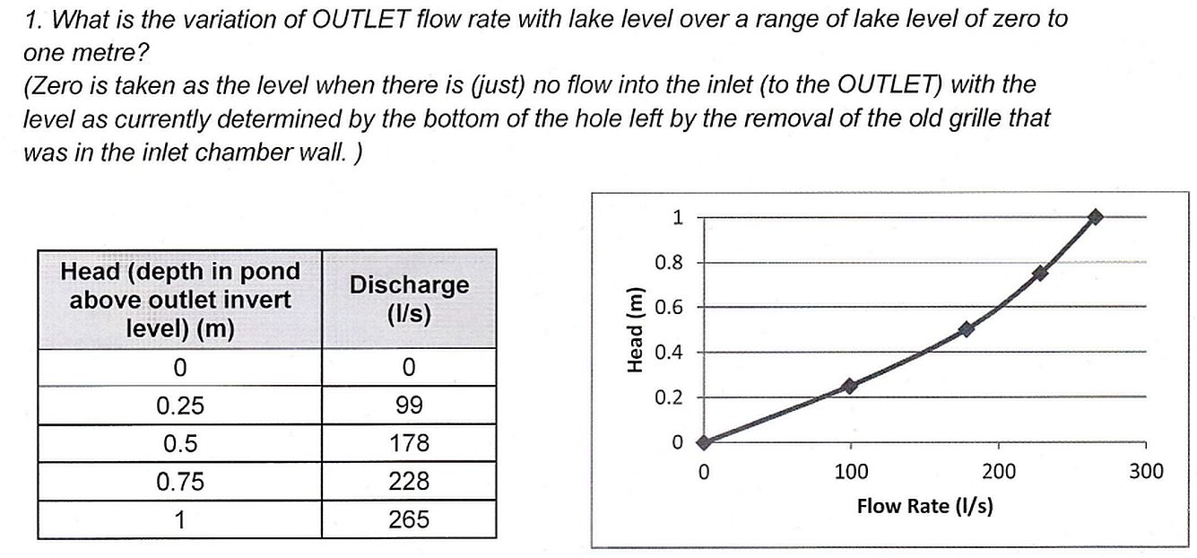
Graph below supplied by Northumbrian Water Ltd. #
On 6 June, the video below was taken, and the head was measured as 0.9 (m), corresponding to 250 (l/s). That is clearly not the flow rate out of the flap valve; but then both outlet pipes remain blocked, resulting in flooding at the NW edge of the lake following rainfall over the last two weeks.
# The NWL graph appears to assume no blockage of the two outlet pipes or of the outlet grille/wire mesh, and takes no account of the position of the sluice gate. Their calculations appear to assume a common water level in both outlet chambers with that of the water on the lakeside of the outlet grille.
Photographs taken 8/9 June
(Click/Tap for higher resolution version)
Photographs taken 13 June, 2019
(At 2 PM after overnight rain)
Update on 25 June, 2019
Following the recent flooding of the Quarry due to the poor maintenance of the outlet by North Tyneside Council, a review of measurements of water level in the lake has been made from the most recent and earlier values recorded over the period from early 2013 onward.
The measurements are all relative to the "invert" of the notch, the rectangular hole in the wall of chamber 1 left after the removal of the old grille.
1. The lowest water level in the lake over the period to date - estimated, not measured, +10cm (15cm 25cm since 4 March, 2020) ##
2. The highest water level during the flood, January 2013, +171cm +181cm
3. The highest water level during the recent flood, +124cm +134cm
4. The top (exterior) level of the outlet chambers, +95cm +104cm
5. Change in water level from the lowest (1) to that which just covers the whole of the jetty on the NW edge, 8cm 18cm
6. Change in water level from the lowest (1) to that to spill over the wall at the NW edge, 18cm 28cm
7. Invert of "dry weather pipe", +24cm +8cm +18cm #2 ##
8. Depth/height of wire mesh on outside of main outlet grille, 42cm
## The "invert" of the notch was rechecked on 23 July, 2020 - after the removal of the sluice gate and found to be 10cm (+0 -7) lower than previously estimated; hence the addition of 10cm to each of the "strikethrough" figures for maximum.
#2 Further to a site visit on 2 August, 2019 with the NTC project engineer and NWL representatives it transpired that the entrance to the "dry weather pipe" has a wide, rectangular opening (a notch) in the rear of chamber 1 that leads to chamber 3. The lowest level of this opening (the invert) is lower than the current position of the sill of the weir gate in chamber 2. The blockage(s) in the pipes from the outlet to the NWL connection in the grassed area beside the scout hut has been reported to be likely due to tree roots in the pipe run to the NWL connection. It is now proposed to remove the weir gate in chamber 2 completely and to remove the cause of the blockage(s) in the pipe run to the NWL connection.
(The accuracy of the figures is variable but unlikely to be worse than +2cm )Update on 23 July, 2019
The following 2 documents that are linked to below were sent to NTC's Development Control (Planning) on 17 May, 2019. They both relate to the failure to discharge the planning conditions applied to the Briar Vale flood prevention scheme; planning condition no. 15 in particular. (Links to the Briar Vale planning application and to the application to discharge planning conditions are embedded in the first document.)
Marden Quarry Lake Drainage Comments on discharge of conditionsUpdate on 30 August, 2019
The lake outlet was found to be blocked (both chambers} on 28 August, 2019 and the following day a contractor was seen to attempt to clear the blockage using a high pressure hose in the pipe run from the Scout hut land manhole to the lake outlet. On 30 August the contractor cleared the roots from the pipe run and the short video below illustrates the heavy flow to the outlet just afterwards. (See note #3 - added 18 September, 2019)
Comments on planning application for Northumberland Estates housing on Murton Gap site (28 August, 2019).
#3 The flow through the "dry weather pipe" is restricted by an air lock which must be cleared to allow water to flow through it. This was discovered earlier this year when both pipes from the outlet chambers appeared to be blocked.
Update on 13 October, 2019
Following rainfall over the days before 1 October the NW edge of the lake became flooded due to the blockage of the wire mesh on the lake outlet grille. The blockage had been cleared in the morning but by mid-afternoon the outlet was found to have created a drop in water level from one side of the mesh to the other of about 30cm. The water level within chamber 1 was too low to flow over the sluice gate. Further clearance of the wire mesh led to higher outlet flow and a level within chamber 1 to get substantial flow over the sluice gate into chamber 2. The video below was created from recordings taken within 15 minutes of the clearance. The drop in level across the wire mesh had been reduced to several centimeters.